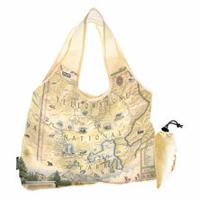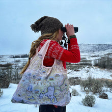
Carry a piece of Yellowstone with you wherever you go! This eco-friendly, reusable tote from Xplorer Maps features a beautifully hand-illustrated map showcasing the park’s iconic geothermal wonders and incredible wildlife. Both stylish and practical, it’s the perfect companion for park adventures, shopping trips, or everyday use.
Crafted from durable nylon, this tote holds up to 60 lbs yet conveniently folds into its own attached pouch for easy storage. Compact and lightweight, it expands to 18" wide x 25" tall (including straps) and folds down to just 4.5" x 2.5"—making it a breeze to toss in your bag or car.
Sustainable, functional, and uniquely Yellowstone, this tote makes a great gift for travelers, outdoor enthusiasts, and eco-conscious shoppers.
Made in Montana
ABOUT THE BUSINESS
OUR STORY
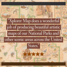
The Xplorer Maps journey began in 2010 with two brothers - a talented, globe-trotting artist and an entrepreneurial geographer and outdoor enthusiast - who had a mission to create uniquely hand-drawn, antique-styled story maps of national parks and travel destinations. Their mission was to help create lasting and meaningful connections between people and places.
Sixty-plus illustrated maps later, the Robitaille brothers (with unwavering support from their most amazing partners; Julie and Ness) have found their stride. Storytelling and engagement through art has become their mantra.
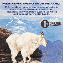
As a registered Made in Montana family business and member of 1% For The Planet, Xplorer Maps donates a portion of all sales to non-profit organizations throughout the U.S., Canada, and Africa. We proudly help support these folks who are on the front lines dedicated to the education and preservation of our public lands and the wildlife within.


